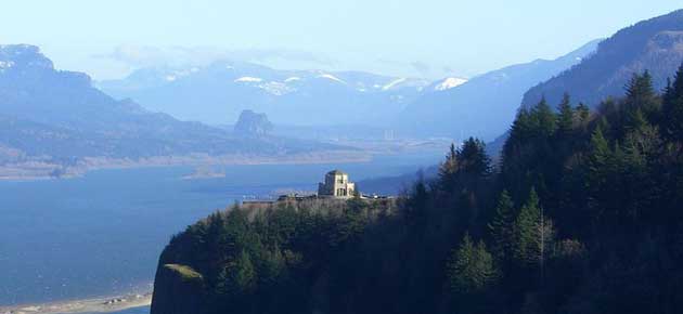
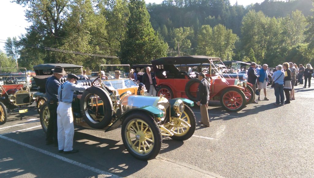
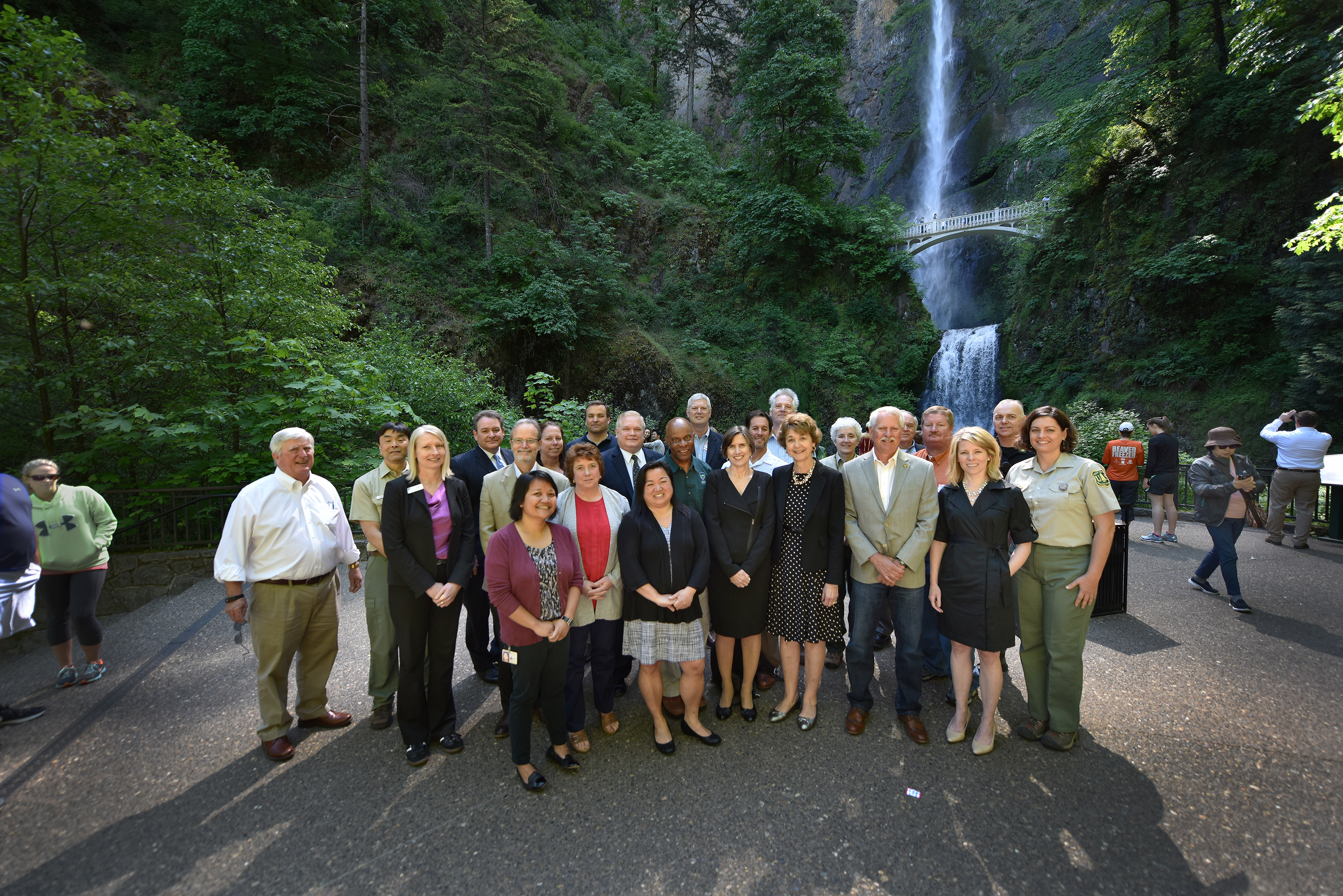
The Historic Columbia River Highway continues to grow in popularity as does the Columbia River Gorge National Scenic Area in general. The historic highway and supporting infrastructure, including parking areas on the historic highway and on I-84 at Multnomah Falls, often reach capacity. This Oregon Solutions project was designated by Governor Brown to identify solutions to some of the most immediate short term congestion and safety issues and a means to accomplish such improvements.
Governor’s Designation Letter (PDF)
Declaration of Cooperation (PDF)
Objectives
• Establish Oregon Department of Transportation “Gorge Express” pilot transfer service between Gateway Transit via Rooster Rock State Park to Multnomah Falls
• Improve safety for pedestrians and drivers accessing the Gorge
• Seek additional funding for future transportation and congestion relief projects
• Increase availability of public safety officers to control high-traffic locations
• Develop short, medium, and long term congestion management strategies
Results
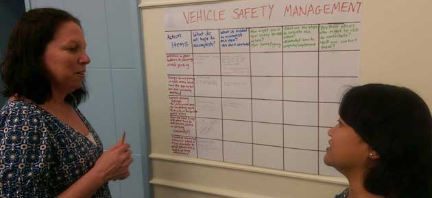
Using the Oregon Solutions approach the project team was able to identify issues of priority, obtainable goals, and measurable outcomes with many of the aims underway. The historic highway is now served by both public and private shuttle services aimed at reducing the number of vehicles on the road.
A host of parking and pedestrian circulation efforts to improve pedestrian safety and enhance the visitor experience are under review. The agencies involved are working to create common messaging to encourage safe and respectful recreation throughout the historic highway area. Finally, project team members have committed to ongoing communication and collaboration to ensure successful implementation of project solutions and to coordinate their efforts to address common issues in the future.
May 2017 update: With support from the Oregon Department of Transportation, the Historic Columbia River Highway Advisory Committee continues a coordinated effort to improve safety and reduce congestion on the popular highway. They anticipate proceeding with a consultant team for the Congestion Mitigation Project beginning June 1.
December 2017 update: Work has been underway since summer 2017 on the Congestion and Transportation Safety Improvement Plan. The project team collected all of the traffic, parking, and pedestrian data before the Eagle Creek fire. They are currently working to compile the information gathered to help inform the tools the team will recommend for addressing the congestion and safety concerns along the “waterfall corridor” between Portland Women’s Forum and Ainsworth State Park.
The project leadership team had their first meeting in November 2017, where project decision-makers discussed how the Eagle Creek fire affects the Congestion and Transportation Safety Improvement Plan. They reviewed and confirmed the plan goals, objectives, and evaluation criteria and reviewed the team’s decision-making structure and meeting protocols. All project leadership team meetings are open to the public.
For more information on the Congestion and Transportation Safety Improvement Plan, visit the project page on the Oregon Department of Transportation website.
